
Ann Arbor ZIP Code Coverage
Eight postal ZIP codes are associated with the Ann Arbor postal city in the official USPS labeling material and the Michigan ZIP reference map. They do not form a city-limits map. Some serve standard street delivery, while others have institutional, post-office-box, or limited-use characteristics. The table records the coverage and station information actually identified in the research. Confirm any live address with USPS before using a ZIP in a parcel, directory, or records request.
| ZIP | Areas Covered | Post Office | Notes |
|---|---|---|---|
| 48103 | West Ann Arbor postal area and surrounding western addresses outside the city line | Ann Arbor, 2075 W Stadium Blvd | Standard delivery; USPS location listing identifies Ann Arbor 48103-9998 |
| 48104 | Central, east, and south Ann Arbor postal area | Liberty Station; South University Station | Standard delivery; postal coverage can reach municipality-edge areas |
| 48105 | East and northeast Ann Arbor postal area | Green Road Station, 3000 Green Rd | USPS labeling material pairs Green Road Station with 48113 |
| 48106 | Ann Arbor postal designation | Station detail not located | May be institutional or limited-use; verify address by address |
| 48107 | Ann Arbor and Liberty Station postal designation | Liberty Station | Often has PO-box or limited-use character; verify current USPS result |
| 48108 | South Ann Arbor postal area and nearby southeast county edge | Ann Arbor and Liberty Station labeling | Postal city does not establish city jurisdiction |
| 48109 | University of Michigan and Ann Arbor postal designation | University and Ann Arbor service | Institution-oriented ZIP; confirm delivery type and current address |
| 48113 | Ann Arbor PO-box or limited designation | Ann Arbor 48103 labeling | Not a substitute for a general parcel boundary |
USPS historical labeling groups 48103, 48104, 48106, and 48109 under Ann Arbor 48103 labeling. It groups 48105 and 48113 with Green Road Station 48105, and 48107 and 48108 with Liberty Station 48107. Those labels describe postal organization, not a rule that every address in a ZIP falls under the same municipal government.
Ann Arbor ZIP Codes Are Postal
A ZIP code is a delivery geography. It can cross city lines, township edges, and service boundaries. Ann Arbor grew through annexations while township islands remained inside or near the city service area, so a city mailing address and the jurisdiction shown by a parcel record can differ. The city and county GIS tools are useful for comparing boundaries, but neither turns a ZIP into a legal boundary. Keep the current parcel ID and legal description beside the address when researching a property.
A historical city tax study illustrates the mismatch. It estimated that 66 percent of 48103, 95 percent of 48104, 50 percent of 48108, and 100 percent of 48109 correlated to city parcels. Those are historical study values, not current population or registration statistics. They are a reason to verify a live address with USPS and the proper local parcel system instead of treating a ZIP label as a jurisdiction answer.
The City of Ann Arbor annexation records provide the local geography behind this distinction.
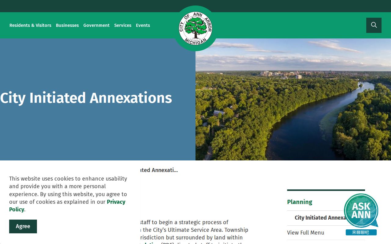
Annexation history is useful context when the postal city, township choice, and parcel jurisdiction do not line up, but the current property record is still the source for its own parcel fields.
Verify an Ann Arbor ZIP Code
The USPS ZIP Code Lookup is the authority for current delivery formatting and ZIP assignment. Its address mode needs a street address, city, and state. Its city-and-state mode returns ZIPs associated with a postal city. USPS standardizes the street format in the result and expressly warns that a ZIP result does not confirm a person or company at the address. Record the date of the result because postal routing and station information can change apart from parcel data.
| USPS field or mode | Type | When used | Result |
|---|---|---|---|
| ZIP Code by Address | Mode | Choose for a specific delivery address | Current ZIP and standardized address information |
| Street address | Text | Required in address mode | Number, directional, street name, and type USPS can standardize |
| City | Text or selection | Required in address mode | Ann Arbor or the postal city supplied by the requester |
| State | Selection | Required in address mode | Michigan or MI |
| ZIPs by City and State | Mode | Choose for postal-city association | Associated ZIPs, not a resident list |
The USPS ZIP lookup screenshot shows the address and city-state modes used for current postal confirmation.
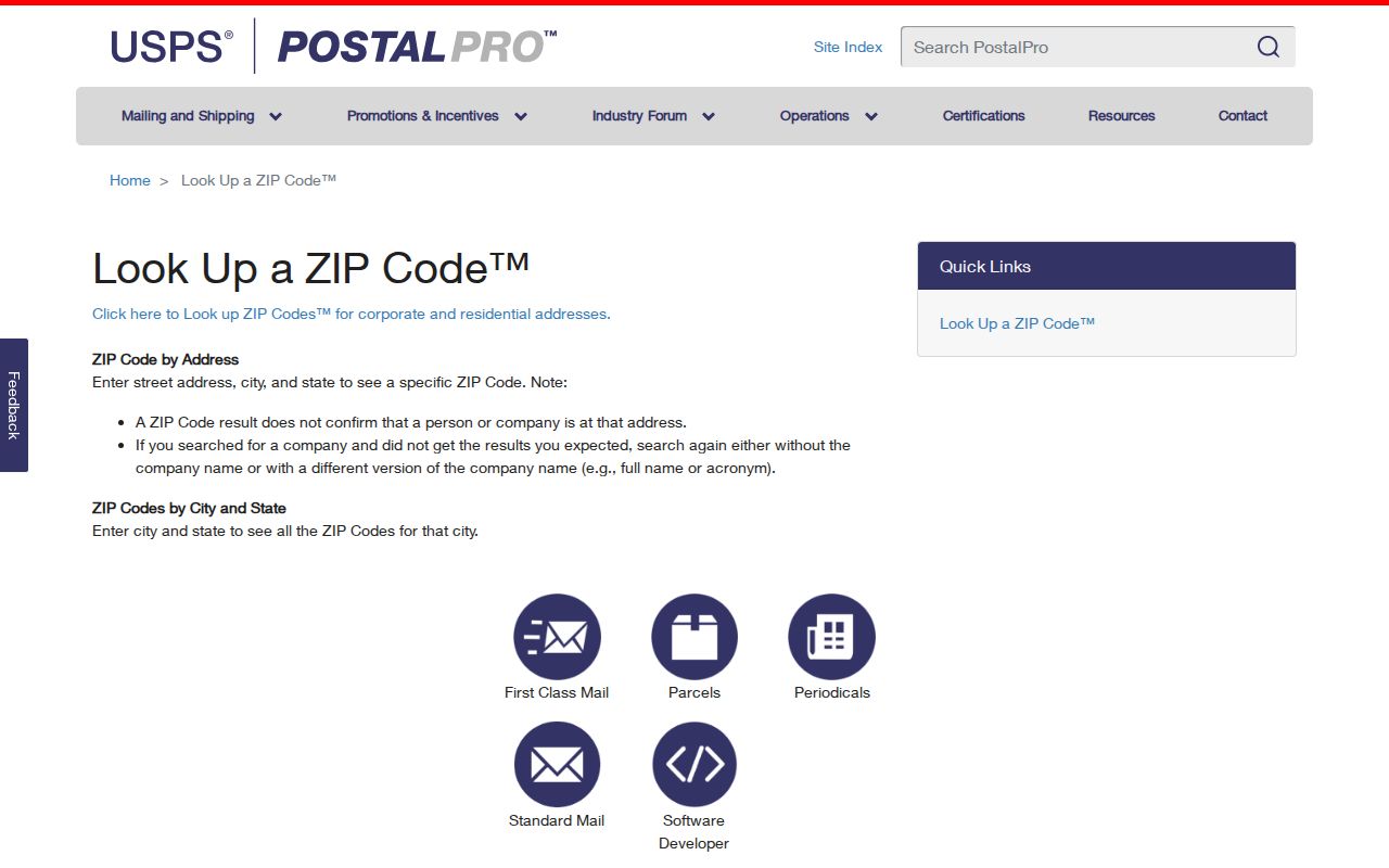
Once USPS returns a delivery ZIP, use that value as postal context. It does not replace a record date, parcel identifier, or a direct source that names an owner or occupant.
Find Ann Arbor ZIP Code Records
A ZIP can organize a careful search, but the available local tools do not expose a single live ZIP-wide resident filter. Begin with an address that USPS has standardized. Then match the research method to the record type. The county parcel form searches address, parcel, owner or taxpayer name, municipality, and street-number ranges, not ZIP. Michigan's voter-file process is also not a casual ZIP query. Its QVF request form asks for one defined geography, such as a jurisdiction, county, district, school, village, or ward and precinct, with a formal delivery route.
- Use USPS to verify the current ZIP and standardize the full delivery address.
- Search the Washtenaw County parcel lookup by the actual street number, street name, municipality, parcel ID, or owner or taxpayer name.
- Compare the report's situs address, taxpayer mailing address, legal description, record year, and municipality. A mailing address is not proof of occupancy.
- Use MapWashtenaw or city GIS to view parcel and city-boundary context, remembering that the viewer is reference material rather than legal title.
- If a voter-data request is appropriate, use the Michigan QVF form's documented geographic choices. Do not describe it as a ZIP search or expect ordinary email delivery.
When a ZIP has narrowed the area to a particular road, the Ann Arbor Street Directory has the separate address-based workflow. A dated historic street listing can help with an old address, but it does not create a present-day ZIP filter.
Ann Arbor ZIP Code Search Limits
The county public parcel form has no ZIP field. Its useful path is address-based: select the city or township, use the street name without its street type when needed, add a street-number range, or use the parcel number. Preserve the street type in any result even if the form accepted a name-only search. A parcel identifier can look like 09-09-11-305-049, while the county form also describes a segmented pattern such as XX-XX-XX-XXX-XXX. It is an identifier, not a universal meaning for title.
BS&A may display ZIP information in detailed or property-sale results and global search, but the accessible landing page did not expose a dedicated ZIP filter. The research does not support claiming that such a live filter exists. Similarly, MapWashtenaw can compare spatial layers, but ZIP polygons are not a municipal boundary substitute. Call the Equalization Department at 734-222-6662 when an old and current parcel ID differ.
Note: Search the parcel system for the parcel information it maintains, then use USPS separately for current delivery assignment.
Ann Arbor ZIP Code Address Terms
Three address concepts can appear in the same research file and they do different work. The situs address identifies where a property is located. A tax mailing address is where correspondence goes. The ZIP code is USPS delivery geography. A legal description, which can be a subdivision lot, platted lot and block, or metes-and-bounds description, connects the deed to a map. For historical work, retain the street number and direction, the legal description or subdivision clue, and a dated owner or occupant entry together.
- ZIP versus ZIP+4
- A ZIP identifies a postal delivery area. ZIP+4 adds a more specific delivery segment within that postal system.
- PO-box ZIP
- A ZIP used for post-office-box service or limited postal use, not a general boundary for nearby parcels.
- Institution-oriented ZIP
- A postal designation associated with a major institution or its delivery arrangement; confirm the address and delivery type with USPS.
- Carrier route
- A postal delivery sequence used for mail handling. It is not a municipal line or a list of residents.
For older directories, do not silently replace the ZIP printed in a historical source with a current one. A present USPS lookup can standardize a contemporary address, but it cannot prove that a person lived there in the earlier directory year.
Ann Arbor ZIP Code and City Limits
City limits, postal boundaries, and county parcel choices must remain separate. A mailing address that says Ann Arbor can be associated with Ann Arbor Township, Scio Township, or Pittsfield Township records. The city grew from Ann Arbor Township through annexation, and the city's first round of township-island annexations was completed in 2016 after a 2011 strategic process. Later State Boundary Commission material documents decisions from 2021 through 2023. These changes can affect municipality labels and parcel identifiers without changing the basic need to verify an address.
Use the City of Ann Arbor boundary material and county GIS to understand the geography, then use the controlling office for the record requested. USPS resolves postal assignment; the county parcel system resolves its parcel and mailing fields; the city map provides local context. Legitimate differences among the sources usually reflect different maintenance purposes, not an error that can be fixed by choosing a ZIP alone.
Ann Arbor ZIP Code Stations
Where a ZIP is tied to a station question, use the USPS Locations tool rather than guessing from a neighborhood label. It searches by city or ZIP, address, state, and facility type. A station name can identify a postal service point, but it is not a municipal boundary and does not prove an address is in a particular city jurisdiction. The table's 48106 station detail is intentionally left unfilled because it was not located in the official research.
The USPS post-office locations page is the manifest source for checking stations and facility types.
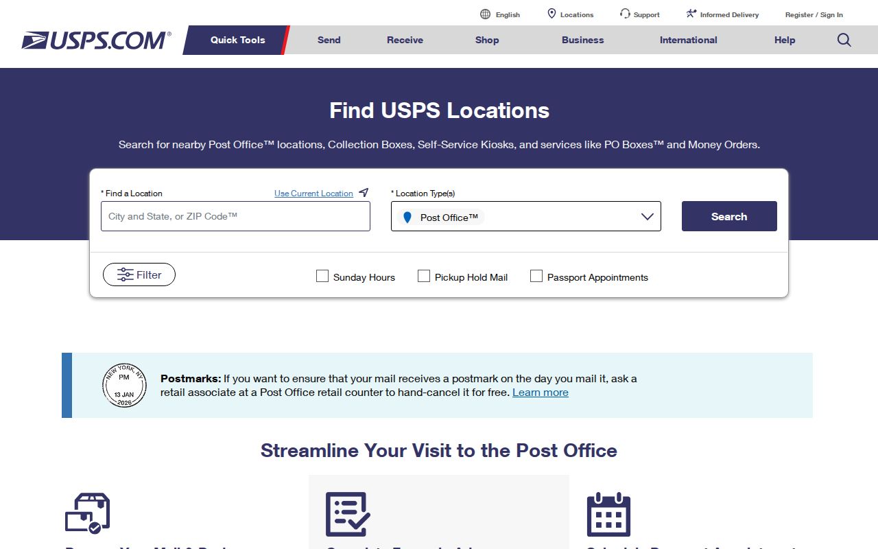
Pair a station result with the current address lookup, then return to the parcel or GIS record only when the question concerns property or jurisdiction.